Cybertiks
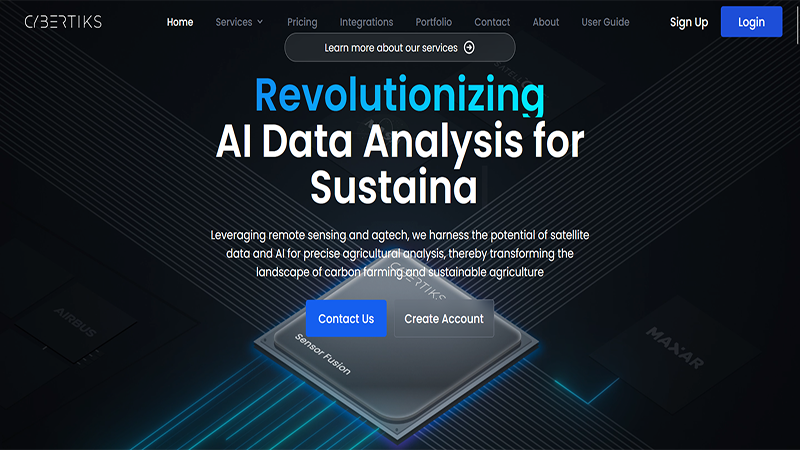
Cybertiks is an innovative AI-powered tool that combines remote sensing and agtech for precise agricultural analysis. With satellite and drone imagery, it enables users to remotely assess fields worldwide and offers a range of analyses and solutions.
Features:
- Crop Detection and Viability: Identify and analyze plant types in specific fields, assess crop potential in designated areas.
- Environmental Metrics: Measure water availability, soil nutrients, erosion, pollution levels remotely, evaluate soil quality, identify threats.
- Human Activity Monitoring: Utilize satellite radars to detect human activity through electromagnetic traces, monitor oil spills, leakages, waste deposits, evaluate land topography for construction projects.
- Advanced Analytics with AI: Data correlation, custom reports, thermodynamic information analysis, resource classification.
Benefits:
- Efficient data correlation and customized reports using AI.
- Quantification of natural resources, elements, and minerals using thermodynamic information analysis.
- Tailored solutions and SaaS development based on client needs.
Use Cases:
- Agriculture: Transform agricultural practices by providing detailed insights.
- Environmental Monitoring: Extend applications to environmental monitoring.
- Human Activity Detection: Detect human activity and monitor oil spills, leakages, waste deposits, evaluate land topography for construction projects.
- Infrastructure Development: Ensure informed decision-making in various domains.
Tag
Visit Website
Cybertiks 0 reviews
Login to Write Your ReviewThere are no reviews yet.
Write Your Review

Popular
-
August 2, 2024

Popular
-
August 1, 2024
Popular
-
August 1, 2024
Popular
-
August 1, 2024

Popular
-
August 1, 2024

Popular
-
July 31, 2024
Popular
-
July 31, 2024

Popular
-
July 31, 2024
Popular
-
July 31, 2024

Popular
-
July 30, 2024